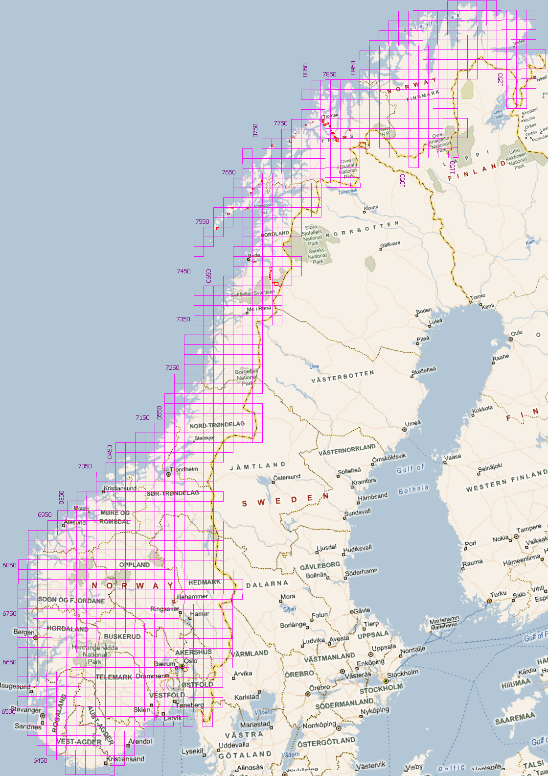
NORGEKART N50 - MAP OF NORWAY
====================================
Type: Topographical map
Format: JPEG
Coordinate system: UTM Zone 32
Resolution: 5 m/pixel
Year: 2008
====================================
This is N50, a detailed topographical map of mainland Norway (excluding Svalbard and Jan Mayen). It has all streets and trails marked.
To provide one single map all of Norway has been projected into the coordinate system for UTM Zone 32, although some parts should be in other zones. This may cause some slight distortion in the easternmost parts of the map.
If you are planning a hike in the mountains, remember that although mountains and lakes often stay at the same place huts and trail markers can be moved or removed - always bring a recent map!
Карты потребовали перепривязки, сделано лишь для 73 карт из 1112 имеющихся. Здесь приведены только отдельные фрагменты карт (красные прямоугольники, кликайте), для ключевых районов велопохода по Норвегии 2010 г.

| 3 границы (N-F-Sw) | Skibotn | Hatteng | Nordkjosbotn | Seljelvnes |
| Slettmo | Tomasjordnes | Laksvatn | Lavangselva | Sørbotn |
| Nordbotn | Lauksletta | Sandvik | Nordberg | Kaldsletta |
| Tromsø | Tromsø (центр) | Tromsø (север) | Nordfjordbotn | Brensholmen |
| Ersfjord | Trollpark | Hamn | Gryllefjord | Andenes |
| Sortland | Holand | Stokmarknes | Melbu | Svolvær |
| Kabelvåg | Borge | Leknes | Moskenes | Bodø |
| Saltstraumen | Misvær | Rognan | Sundby | Drageid |
| Røkland | Nordnes - Russånes | Bleiknes | Storjord | Junkerdal |
| Graddis |