Murmansk - Kirkenes

The map of road
|

The vertical track profile
|
Day 1. Murmansk - lake Kilpisyavr (river Ura). 47,5 km.

The map of 1st day
|

The profile of 1st day
|

Мурманск
|

На выезде из Мурманска (N68°53'47", E33°04'22").
|

Водопад на Лавне
|
Day 2. Valley of the river Ura. 12,3+12,3 km. River Ura - river Zapadnaya Litsa ("Valley of Glory"). 28,2 km.

The map of 2nd day
|

The profile of 2nd day (1st part)
|

The profile of 2nd day (2nd part)
|
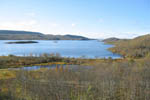
На Печенгской дороге. Lake Nyalyavr
|
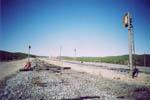
Заброшенная ж.д. на Заозерск
|
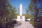
Памятник в Долине Славы
|
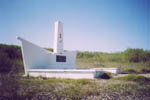
|

В Долине Славы
|
Day 3. Valley of Glory - lake Santayarvi. 50,9 km.

The map of 3rd day
|

The profile of 3rd day
|

Подземный командный пункт немцев "Стальной шлем"
|

Зона тундры
|
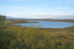
На Печенгской дороге. Lake Santayarvi
|
Day 4. Santayarvi - Pechenga - Zapolyarnyj (?) - Nikel. 60,8 km.

The map of 4th day
|

The profile of 4th day
|
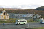
Трифоно-Печенгский монастырь
|

На подъезде к Заполярному
|
Day 5. Nikel - watetfall on river Shuonijoki - Nikel (10,5+10,5 km). "Pechenga-Nikel" factory, museum of local history.

The map of 5th day
|

The profile of 5th day
|
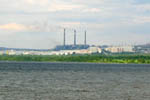
The town Nikel
|
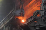
The metal production of 'Pechenga-Nikel'
|

The waterfall on river Shuonijoki
|
Day 6. Nikel - border - Kirkenes. 55,2 km.

The map of 6th day
|

The profile of 6th day
|
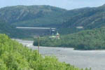
The valley of river Paz. Boris & Gleb church
|
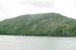
The Trifon mountain
|
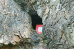
The Holy Trifon's cave
|
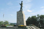
Kirkenes. The Russian Monument
|
Created by
Vlad Vasiliev on 6 Feb 2007
Last modified on 9 Feb 2007


